File:International iceroad of Aragon.png: Difference between revisions
Jump to navigation
Jump to search
ultrahaha#0 (talk | contribs) No edit summary |
(No difference)
|
Latest revision as of 16:02, 9 March 2024
map of the highway connects Aragon with its territories in Africa as well as with its neighbors of Poitou Charentes and Aquitaine.
File history
Click on a date/time to view the file as it appeared at that time.
| Date/Time | Thumbnail | Dimensions | User | Comment | |
|---|---|---|---|---|---|
| current | 16:01, 9 March 2024 | 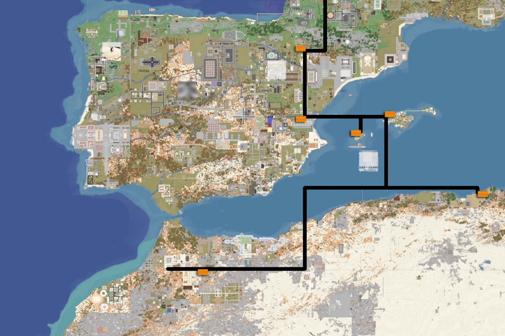 | 1,761 × 1,173 (1.96 MB) | ultrahaha#0 (talk | contribs) |
You cannot overwrite this file.
File usage
The following page uses this file: