File:The Border of New Aquacifica.jpg: Difference between revisions
Jump to navigation
Jump to search
aquacifican (talk | contribs) No edit summary |
(No difference)
|
Latest revision as of 22:45, 28 August 2024
The Red line covers the whole sea-level and landcapes that concludes and belongs to New Aquacifica's Islands.
File history
Click on a date/time to view the file as it appeared at that time.
| Date/Time | Thumbnail | Dimensions | User | Comment | |
|---|---|---|---|---|---|
| current | 22:45, 28 August 2024 | 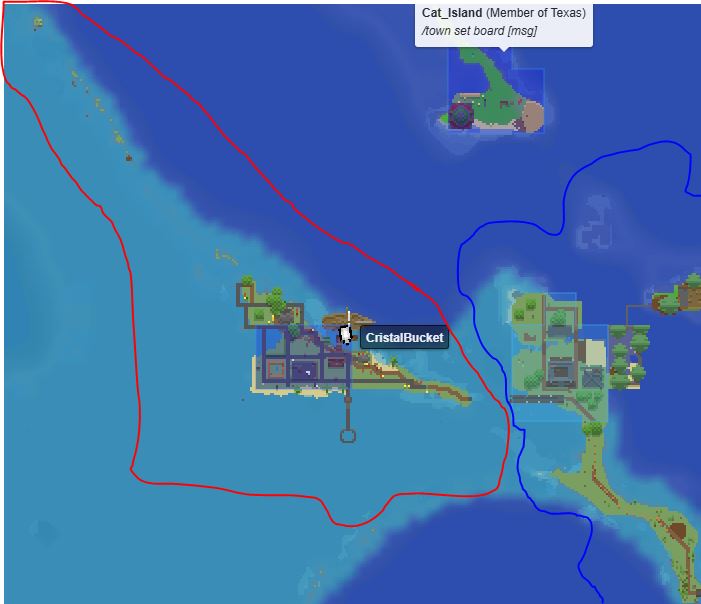 | 701 × 604 (40 KB) | aquacifican (talk | contribs) |
You cannot overwrite this file.
File usage
The following page uses this file: