File:Poitou-Charentes territory.png
Jump to navigation
Jump to search
No higher resolution available.
Poitou-Charentes_territory.png (600 × 600 pixels, file size: 171 KB, MIME type: image/png)
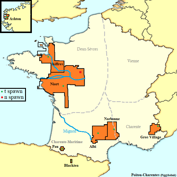
Poitou's territory
File history
Click on a date/time to view the file as it appeared at that time.
| Date/Time | Thumbnail | Dimensions | User | Comment | |
|---|---|---|---|---|---|
| current | 22:03, 9 March 2024 | | 600 × 600 (171 KB) | ninibank#0 (talk | contribs) | 2024 II |
| 19:03, 9 March 2024 | 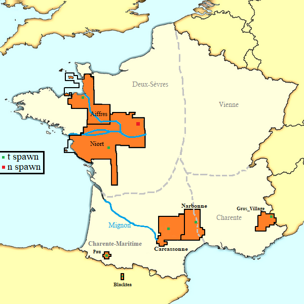 | 600 × 600 (154 KB) | ninibank#0 (talk | contribs) | 2024 I | |
| 22:11, 27 February 2024 | 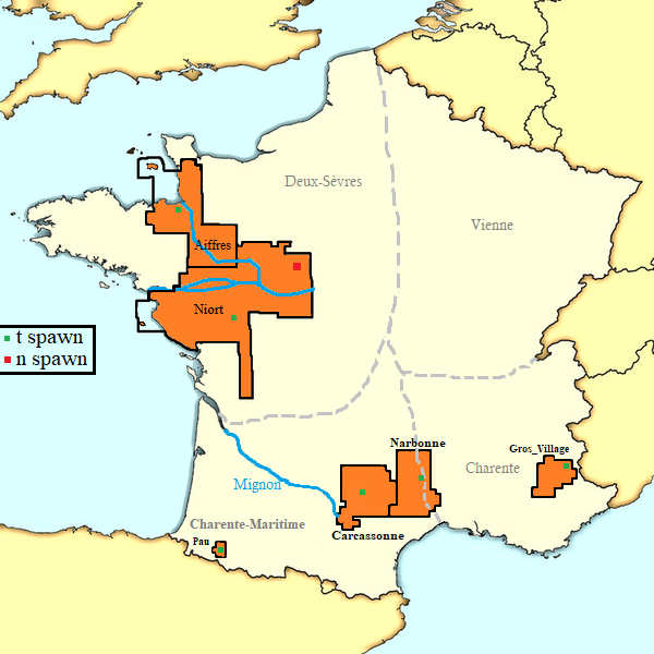 | 600 × 600 (183 KB) | ninibank#0 (talk | contribs) | 2024 I | |
| 17:00, 6 July 2023 | 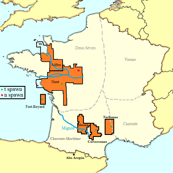 | 600 × 600 (157 KB) | ninibank#0 (talk | contribs) | Narbonne + Alto Aragón |
You cannot overwrite this file.
File usage
The following page uses this file: