File:Sonora map.png
Jump to navigation
Jump to search
Size of this preview: 800 × 589 pixels. Other resolution: 917 × 675 pixels.
Original file (917 × 675 pixels, file size: 165 KB, MIME type: image/png)
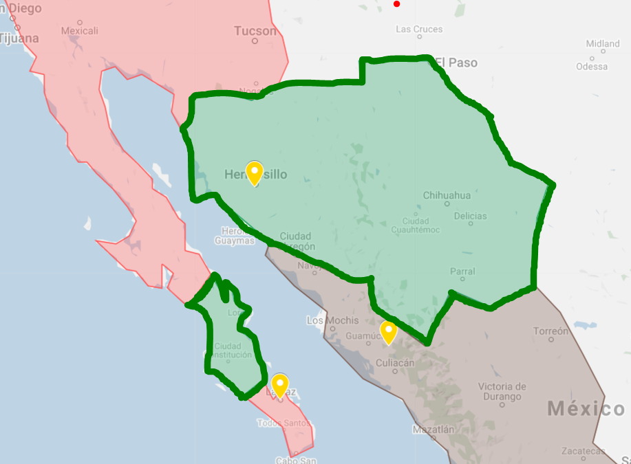
Territory of the Sonora Republic recognized by the official California Republic Territory Map
File history
Click on a date/time to view the file as it appeared at that time.
| Date/Time | Thumbnail | Dimensions | User | Comment | |
|---|---|---|---|---|---|
| current | 22:17, 8 May 2022 | | 917 × 675 (165 KB) | Maintenance script (talk | contribs) | == Summary == Importing file |
You cannot overwrite this file.
File usage
The following page uses this file: