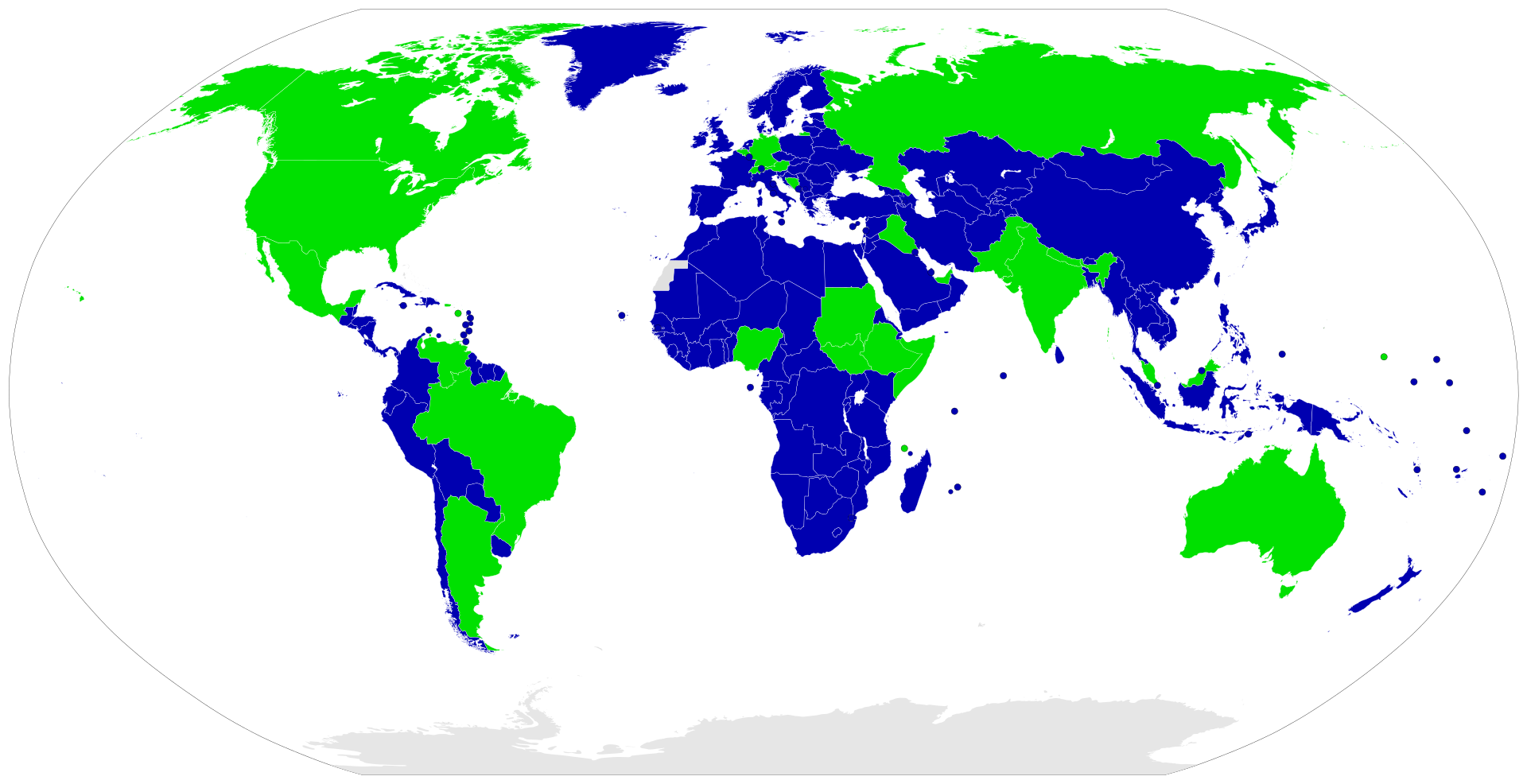
File:Map of unitary and federal states.svg.png
Size of this preview: 800 × 411 pixels. Other resolution: 1,920 × 986 pixels.
Original file (1,920 × 986 pixels, file size: 339 KB, MIME type: image/png)
Summary
Map straight from wikipedia
File history
Click on a date/time to view the file as it appeared at that time.
| Date/Time | Thumbnail | Dimensions | User | Comment | |
|---|---|---|---|---|---|
| current | 17:50, 28 April 2023 | | 1,920 × 986 (339 KB) | robertparr#0 (talk | contribs) | Map straight from wikipedia |
You cannot overwrite this file.
File usage
The following page uses this file: