File:Current current map of ruperts land.png
Jump to navigation
Jump to search

No higher resolution available.
Current_current_map_of_ruperts_land.png (700 × 453 pixels, file size: 90 KB, MIME type: image/png)
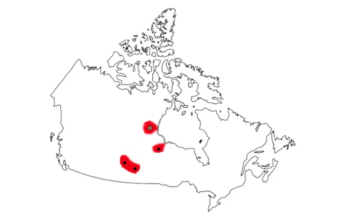
dated jan 24
File history
Click on a date/time to view the file as it appeared at that time.
| Date/Time | Thumbnail | Dimensions | User | Comment | |
|---|---|---|---|---|---|
| current | 22:25, 8 May 2022 | | 700 × 453 (90 KB) | Maintenance script (talk | contribs) | == Summary == Importing file |
You cannot overwrite this file.
File usage
The following page uses this file: